4- Murrutchegagné
 Start point: Sainte-Engrâce church
 00° 48' 35.5'' W
42° 59' 43.3'' N
Distance: 4 km. Time: 2½ hrs. Altitude change: 418 m
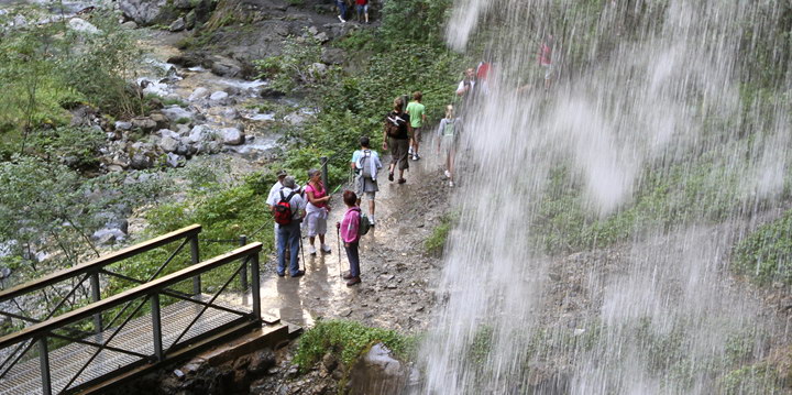
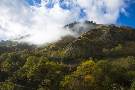
Leaving the 11th-century Romanesque church of Sainte-Engrâce behind you, take the paved road towards La Pierre-Saint-Martin. You will soon reach the Elichagaray farm where a narrow path leads off to the left. Its steep gradient leads across the mountain to the Murrutchegagné summit (1035 m) and a spectacular overlook with views across the entire valley (Ehujarré Gorges, crowned by the Chouri Punta, 1621 m). To descend, walk along the brook that crosses the meadows and a small forest. Turn left and follow the path to the crossroad and walk down the path you took on the way out.
")
")
")
")